Works A bespoke atlas of the flora and fauna of The Apennines
Fondazione Symbola

A bespoke atlas of the flora and fauna of The Apennines

Client benefit

Public Education & Information - Facilitate public awareness

Project objective

Communicate the unique environmental and topographical features of The Apennines mountain range in an educationally stimulating format.

Project results

Through the unique design of this atlas, The Apennines is now presented in an engaging and educational way for public audiences and academia.

Project background

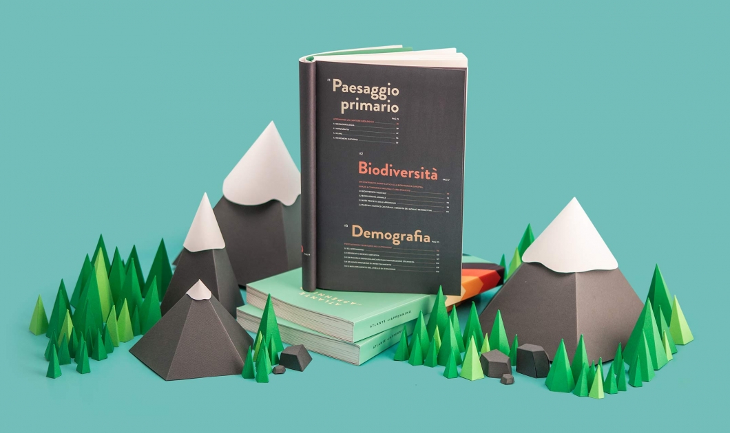
The Apennines Atlas of the Fondazione Symbola is a book that explores the extraordinary environmental and cultural world of the Apennines, a mountain range extending along the length of the Italian peninsula.

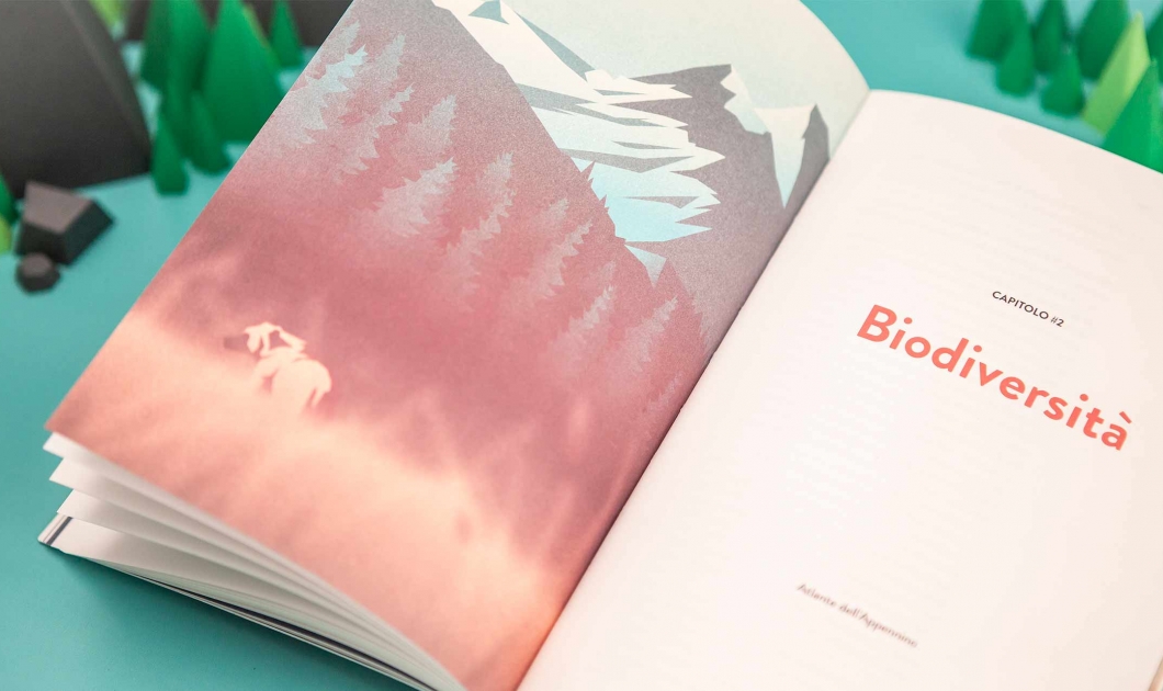
The atlas uses visual designs to explain the geomorphological, hydrographic and climatic characteristics of the landscape, with detailed descriptions of flora and fauna.

It also offers an in-depth insight into the demographic, economic and cultural aspects of the region, together with the digital identity that it has developed on the web. This set of insights matches user data with most frequently searched terms to help understand how people perceive the Apennines.

«This book is both a political and cultural challenge to raise awareness of The Apennines physically, geographically, historically and economically.»

Fausto Giovanelli - President of Parco Nazionale dell’Appennino Tosco-Emiliano

Explore the project

The Visual Agency designed the Apennines Atlas, which explores the extraordinary environmental and cultural world of The Apennines, a mountain range extending along the length of peninsular Italy.

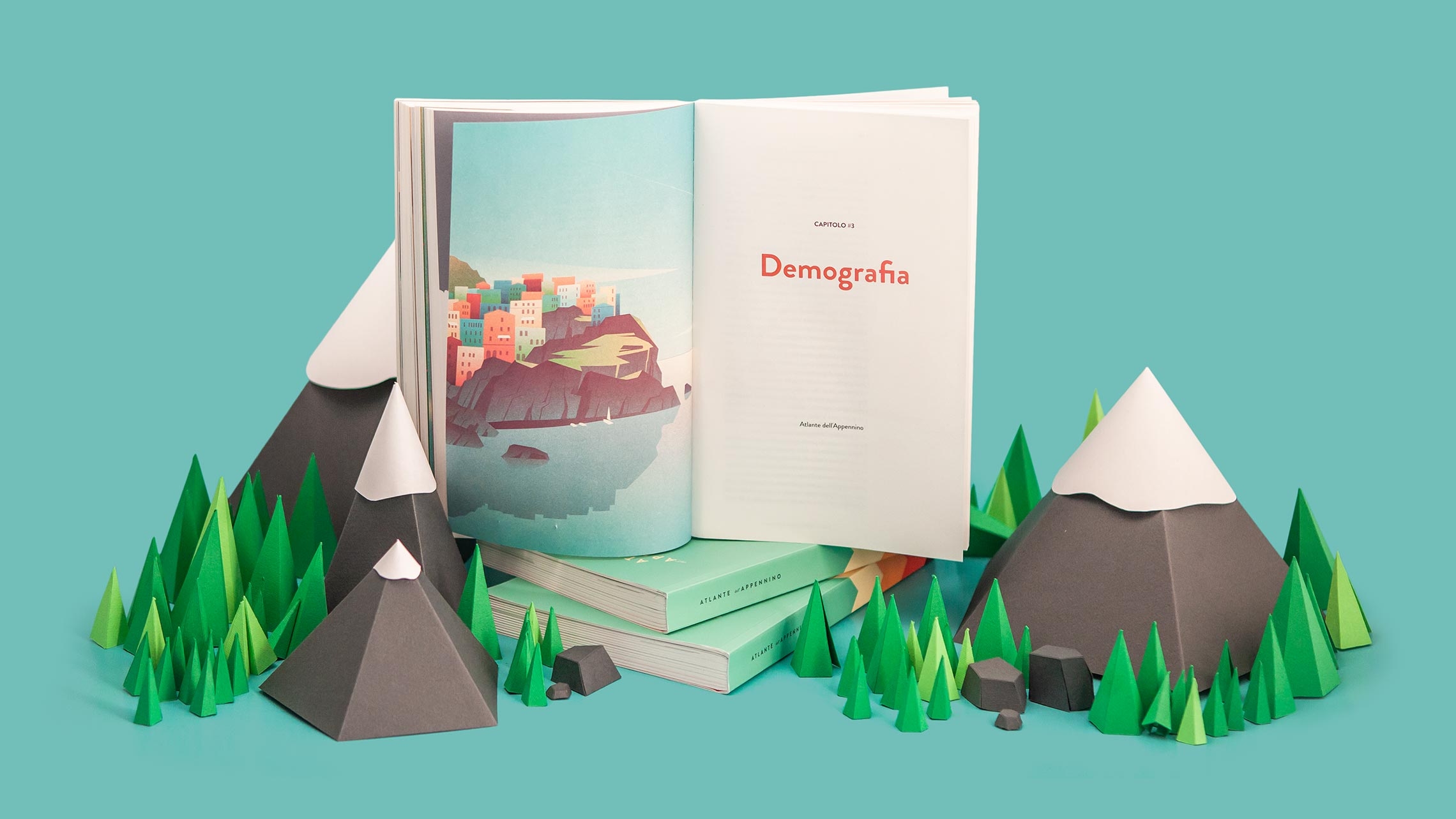
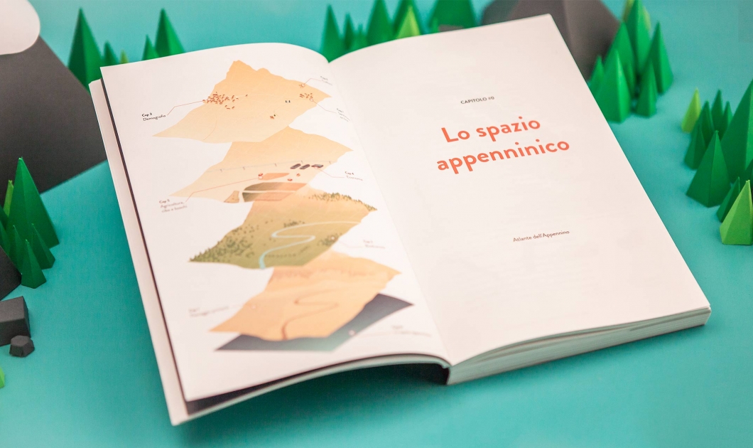
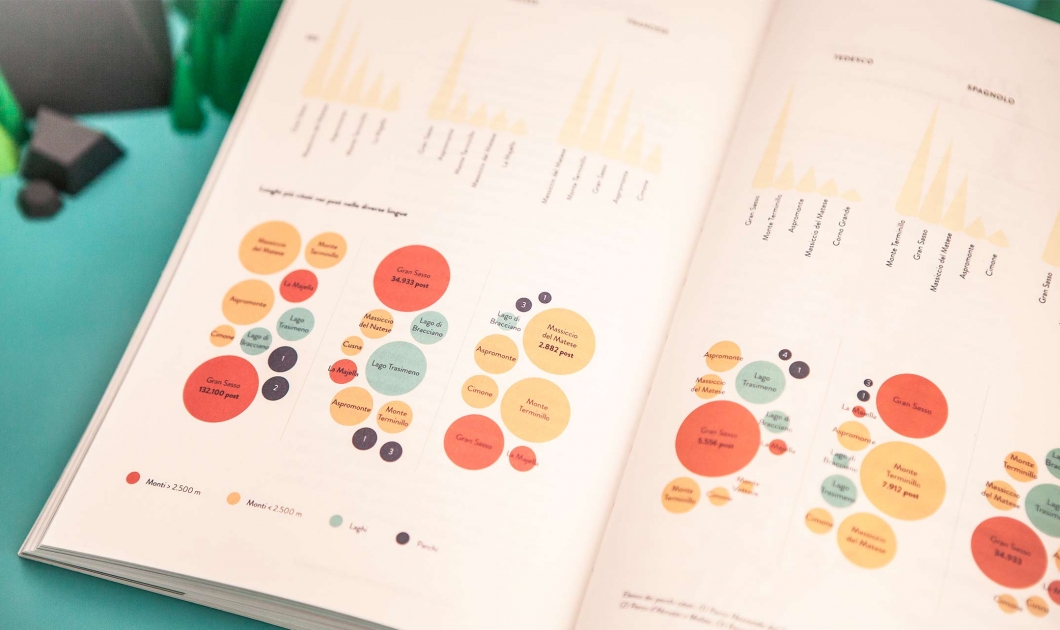
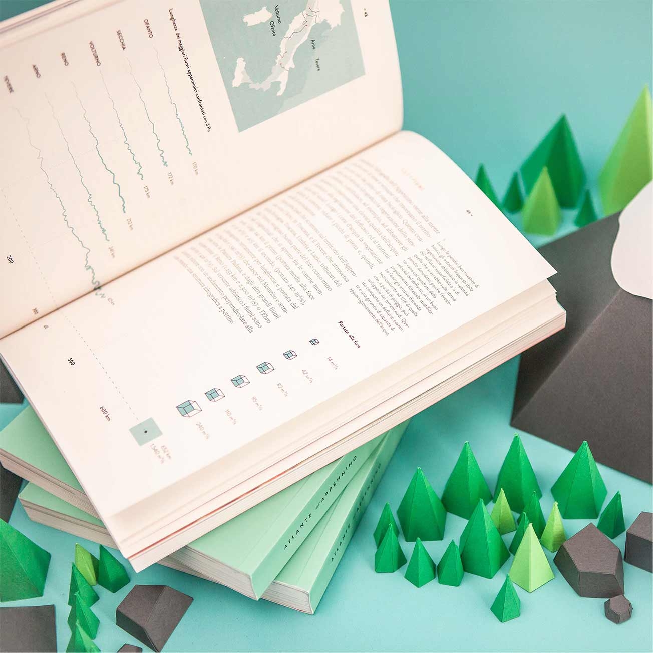
Atlante dell'Appennino book double page with infographics
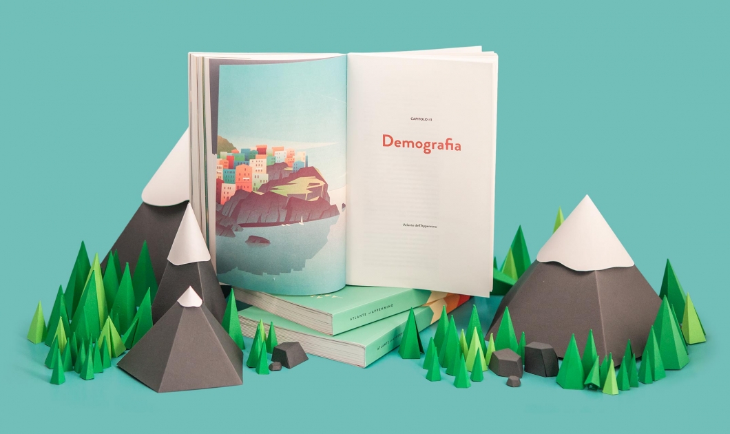
Double page title with illustration

Infographic content 


Infographics and maps and illustrations are integrated with the textual narration to highlight interesting information and explore main topics in depth.
Maps & data-visualizations


The Atlas is heavily reliant on visualizations to convey the landscape characteristics:
12 maps display geomorphology and hydrography.
20 illustrations depict the immense animals and plants heritage.
40 infographics deepen numerical-quantitative aspects.

Other projects

Are you looking for something similar?

Contact us
Discover Kiuu

Discover Kiuu

Kiuu is a platform created for the automated production of animated (motion graphic) videos based on external databases and textual information.

Discover more