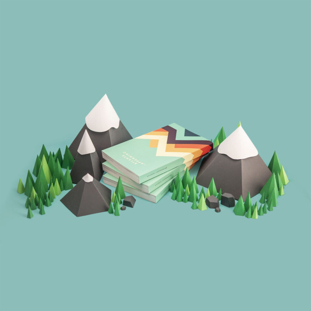
A bespoke atlas of the flora and fauna of The Apennines
Infographic content Infographics and maps and illustrations are integrated with the textual narration to highlight interesting information and explore main topics in depth. https://thevisualagency.com/wp-content/uploads/2025/06/App-Fiore-1-1.mp4 Maps & data-visualizations The Atlas is heavily reliant on visualizations to convey the landscape characteristics: 12 maps display geomorphology and hydrography. 20 illustrations depict the immense animals and plants heritage. 40 infographics deepen numerical-quantitative aspects.
