A bespoke atlas of the flora and fauna of The Apennines
Description
Background
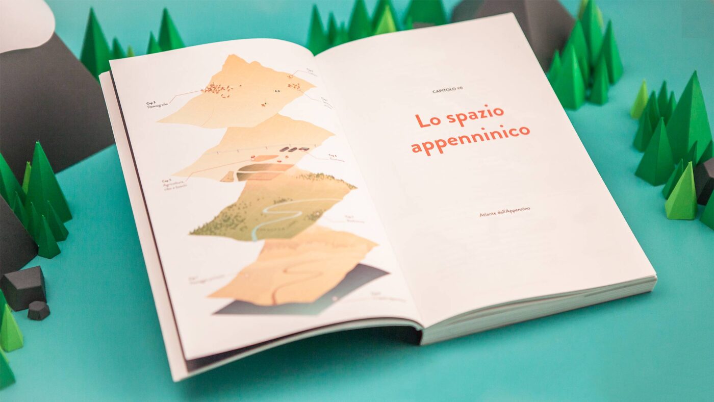
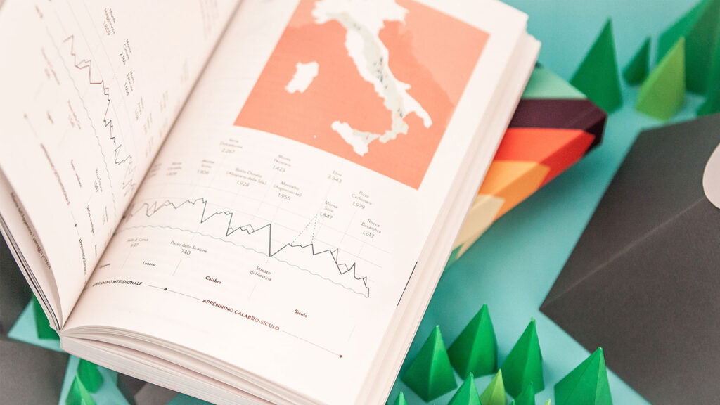
The Apennines Atlas of the Fondazione Symbola is a book that explores the extraordinary environmental and cultural world of the Apennines, a mountain range extending along the length of the Italian peninsula.
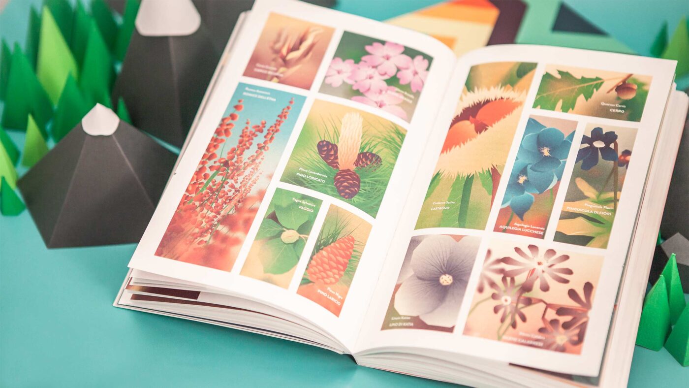
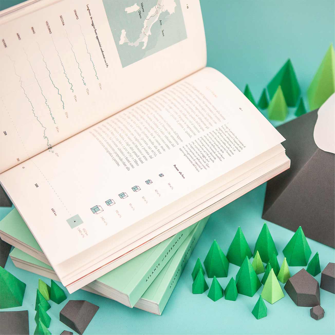
The atlas uses visual designs to explain the geomorphological, hydrographic and climatic characteristics of the landscape, with detailed descriptions of flora and fauna.
It also offers an in-depth insight into the demographic, economic and cultural aspects of the region, together with the digital identity that it has developed on the web. This set of insights matches user data with most frequently searched terms to help understand how people perceive the Apennines.
Objective
Communicate the unique environmental and topographical features of The Apennines mountain range in an educationally stimulating format.
Result
Through the unique design of this atlas, The Apennines is now presented in an engaging and educational way for public audiences and academia.
The Visual Agency designed the Apennines Atlas, which explores the extraordinary environmental and cultural world of The Apennines, a mountain range extending along the length of peninsular Italy.
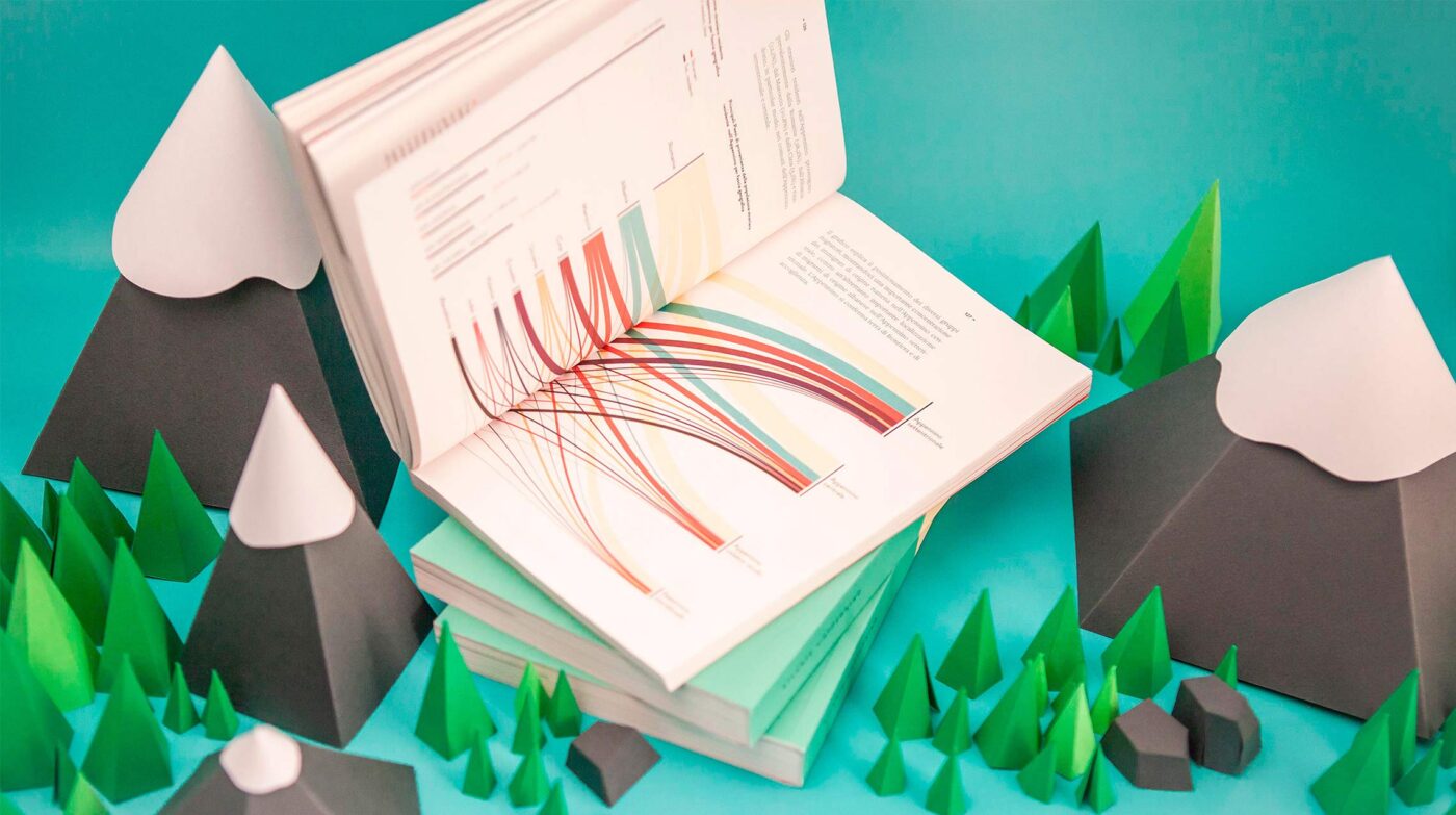
Infographics and maps and illustrations are integrated with the textual narration to highlight interesting information and explore main topics in depth.
Maps & data-visualizations
The Atlas is heavily reliant on visualizations to convey the landscape characteristics: 12 maps display geomorphology and hydrography. 20 illustrations depict the immense animals and plants heritage. 40 infographics deepen numerical-quantitative aspects.
Our Projects
Bip
Communication Design
An animated series illustrating Society 5.0
Campari Group
Communication Design
Communicating Corporate Sustainability
Campari
Communication Design
Campari Group: promoting a corporate data culture
Unicef
Communication Design
Unicef: three outputs to inform and engage
TVA
Communication Design
Nimbo: automated air quality videos with KIUU
Il Meteo.it
Communication Design
Motion Graphic Video Production Automation
No posts found
We’d love to hear about your project! Drop us a line